.png)
The requirement for georeferencing rural properties over 25 hectares
- Daniel Costa
- 3 de mai. de 2024
- 2 min de leitura

Georeferencing, a field of engineering that has become extremely relevant in recent years, is an essential tool for managing rural properties. The requirement for georeferencing rural properties is a reality that has significantly impacted the agricultural sector and land management in Brazil for some years.
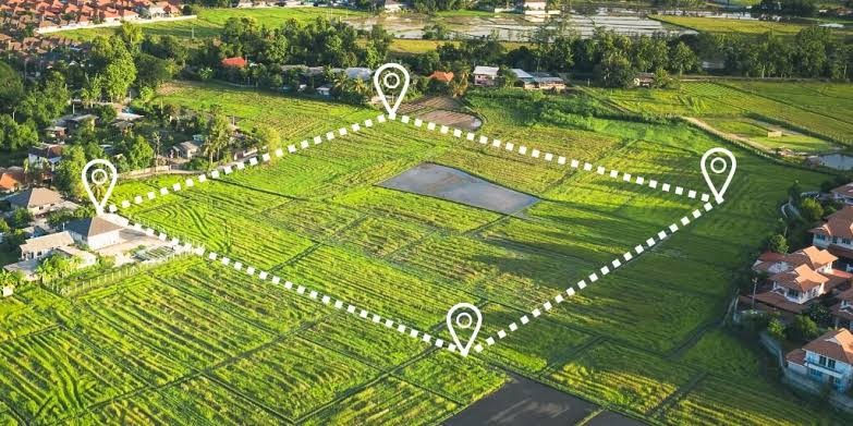
Georeferencing is a process that allows the precise perimeter description of a rural property. Through geodetic and geoprocessing techniques and technologies, it is possible to determine the geographical coordinates of each point that delimits its perimeter. This process is fundamental for the exact description of the property's boundaries and confrontations, avoiding land conflicts and ensuring the legal security of the owner.
The requirement for georeferencing rural properties over 25 hectares was established by the National Institute for Colonization and Agrarian Reform (INCRA) through Law 10.267/2001, which amended the Public Records Law. This law establishes that all rural properties must be georeferenced and certified by INCRA in order to make any changes to the property's registration, such as sale, subdivision, aggregation, succession, donation, among others.
Engineering plays a fundamental role in this process. Through advanced techniques and technologies, engineers and other qualified professionals are able to carry out georeferencing accurately and reliably. The use of equipment such as high-precision GNSS receivers, drones, and software allows the acquisition of geographical data with high precision and reliability.
In addition to ensuring the legal security of the owner, georeferencing rural properties contributes to the efficient management of the property, as with its exact location it is possible to efficiently plan its use, optimize agricultural production, manage natural resources sustainably, among others.
Furthermore, georeferencing is also an important tool for the implementation of public policies. With precise information about the location and boundaries of rural properties, the government can more efficiently plan the implementation of rural development, agrarian reform, environmental conservation policies, among others.
However, despite its benefits, the requirement for georeferencing has generated some challenges. One of them is the need for investment in technology and training. To carry out georeferencing, it is necessary to have high-precision equipment and professionals trained in the field, not only in technical issues but also in the study of the property's documentation.
Despite these challenges, the requirement for georeferencing is a reality that is here to stay. The georeferencing process is a global trend, which has been adopted by several countries as a way to improve land management and ensure the legal security of owners. In Brazil, the requirement for georeferencing rural properties over 25 hectares is an important step in this direction.
I believe that georeferencing is an essential tool for the management of rural properties, and engineering, through its techniques and technologies, plays a fundamental role in this process, ensuring the accuracy and reliability of geographical data.


Comentários